


Note: Please check your Spam or Junk folder, in case you didn't receive the email with verification code.

 English
Linear: Sequential Order
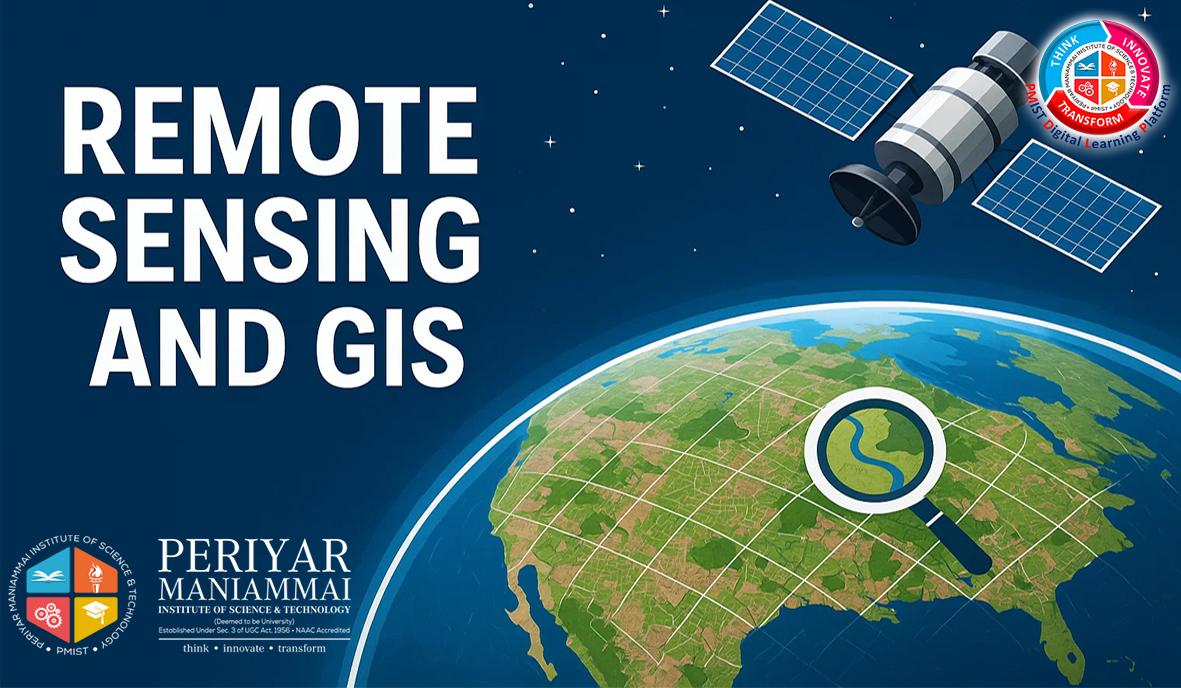
The course Remote Sensing and GIS typically covers the fundamentals and applications of remote sensing (acquiring information about the Earth's surface without direct contact) and Geographic Information Systems (GIS) (tools for mapping and analyzing spatial data).
.This course introduces the fundamentals of remote sensing, covering its principles, components, and interaction with the electromagnetic spectrum. Topics include atmospheric effects, spectral signatures, sensor types, resolution concepts, and image processing techniques. Students will learn to analyse remote sensing data for applications in environmental monitoring, resource management, and geospatial analysis.
 Introduction to Remote Sensing
 RSGIS - Assessment 1
20 Questions
RSGIS - Assessment 1
20 Questions
This module introduces the fundamental concepts of remote sensing platforms and sensors, covering airborne, spaceborne, and ground-based systems. It explores sensor classifications—passive and active—and their operational principles. Emphasis is placed on the characteristics and applications of various sensors, including optical, thermal infrared, and microwave types. The module also examines key satellite missions and payloads, providing insights into data acquisition strategies essential for environmental monitoring, resource management, and disaster assessment.
Platforms and Sensors
RSGIS - Assessment 2
20 Questions
This module explores the fundamental concepts and methodologies in remote sensing image interpretation and analysis. It covers various types of data products, interpretation techniques, and the essential visual elements used to extract meaningful information. Emphasis is placed on visual interpretation keys and digital image processing techniques, including preprocessing and image enhancement. The unit also introduces multispectral image classification methods, distinguishing between supervised and unsupervised approaches, which are vital for accurate thematic mapping and environmental monitoring.
Image Interpretation and Analysis
RSGIS - Assessment 3
20 Questions
This module explores on Geographical Information Systems (GIS) and maps which are essential tools for understanding spatial data and geographic phenomena. The integration of map projections, data types, and databases enhances the ability to analyze, interpret, and visualize spatial and non-spatial information. This overview explores fundamental concepts and key components of GIS.
Geographic Information System
RSGIS - Assessment 4
20 Questions
This module explores foundational GIS data models—vector and raster—and their integration for geospatial analysis. It delves into modeling techniques used in highway alignment and land management, emphasizing analytical accuracy, terrain evaluation, and decision support. The module aims to develop critical skills for geospatial problem-solving in infrastructure and land use planning.
Data Entry, Storage and Analysis
RSGIS - Assessment 5
20 Questions
RSGIS - Final Assessment
50 Questions
The certificate issued for the Course will have
Only the e-certificate will be made available. No Hard copies. The certificates issued by Periyar Maniammai Institute of Science & Technology (PMIST). can be e-verifiable at www.ulektzskills.com/verify.

 90 hours Learning Content
 100% online Courses
 English Language
 Certifications
 0
0


 90 hours of Learning Content


 Course Enrollment